

Area Guide
Burnaby, BC
A central Lower Mainland city with SkyTrain-connected town centres, major shopping, parks, post-secondary anchors, and neighbourhoods that range from high-rise hubs to quiet residential streets.
Around Burnaby
See what's nearby.
Explore restaurants, everyday essentials, schools, parks, hospitals, shopping, wellness, places of worship, major transit stations, and family-friendly places around Burnaby, BC.
149 mapped pointsCurated public listings + official school/city sources
Listings feed
Burnaby, BC homes worth watching.
A mock preview of how active opportunities can sit inside each area guide — clean scan value first, then Mark can replace this with live feed logic when the real listing source is ready.
Active · Detached$1,638,000Renovated character residence minutes from Queen Elizabeth Park.Featured · Townhome$1,088,000Polished townhome with flexible work-from-home space.Preview · Condo$789,000Elevated condo living close to Seawall access and daily essentials.Active · Detached$2,248,000Quiet west-side family home with refined indoor-outdoor flow.New · Duplex$1,398,000Architectural half-duplex close to Fraser Street dining and parks.Coming Soon · Condo$928,000Bright concrete residence with city outlook and strong transit access.
Source: Greater Vancouver REALTORS® MLS® HPI Home Price Comparison, Burnaby East/North/South, May 2026. Verify against the latest board data before making a pricing decision.
- 101,136Occupied private dwellings
- 2.4Average household size
7.0%
Population change from 2016 to 2021
Total private dwellings counted in the 2021 Census
Median age of the population
People per square kilometre
0–1413%
15–6469%
65+18%
1 person29%
2 people33%
3 people17%
4 people13%
5+ people8%
Single-detached19%
Low/mid-rise apartment24%
High-rise apartment29%
Duplex/row/semi28%
Top local picks
Discover local gems.
Lifestyle-first local gems: restaurants, cafes, bars, breweries, gyms, wellness studios, shopping, and recreation spots researched from official venue pages and public sources.
Top Local Gems
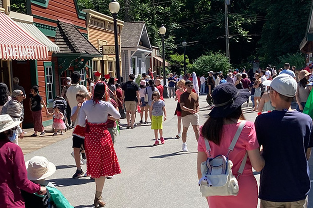
Burnaby Village Museum
A standout open-air heritage museum that gives Burnaby real character beyond its urban centres.
Museum / heritage attraction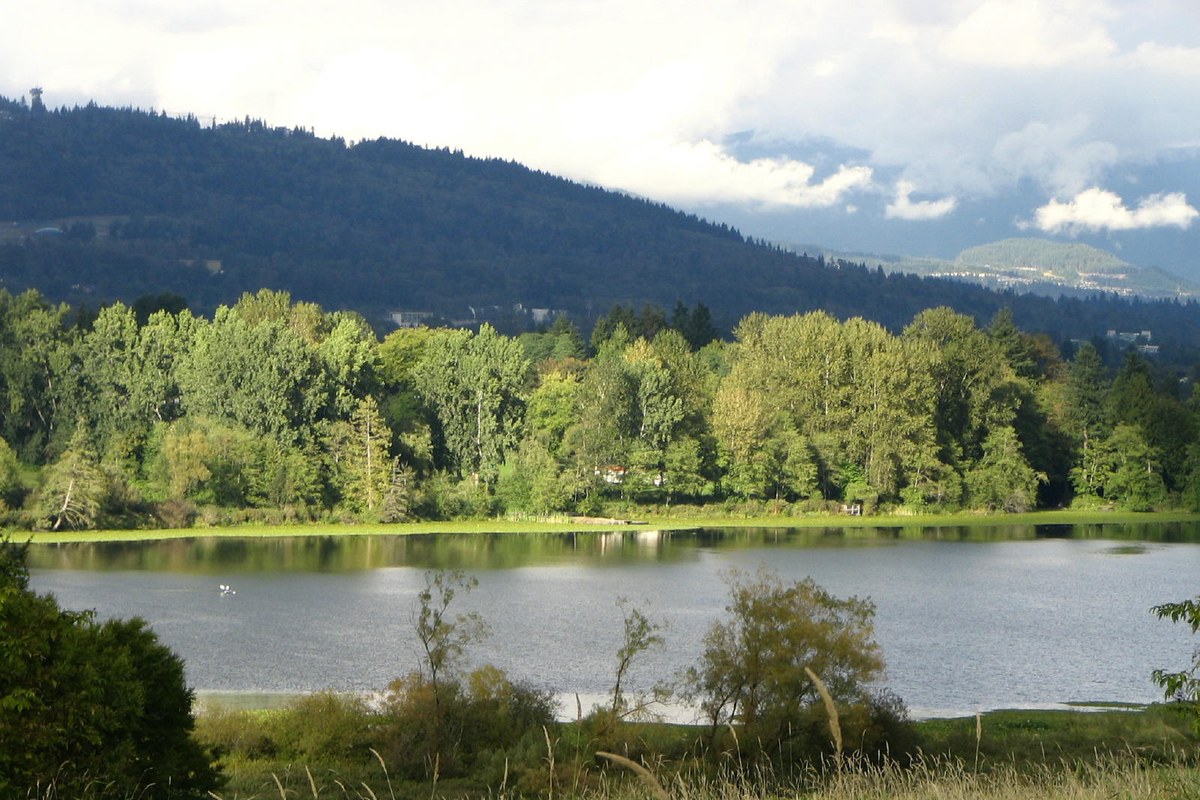
Top Local Gems
Deer Lake Park
A signature Burnaby park with lakefront paths, arts venues, and beautiful civic green space.
Park / cultural district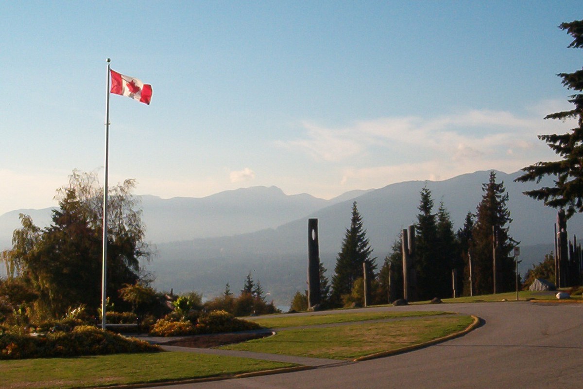
Top Local Gems
Burnaby Mountain Park
A landmark viewpoint and trail area with skyline, mountain, and sunset appeal.
Scenic park
Top Local Gems
Dageraad Brewing
An award-winning Belgian-inspired brewery with a loyal local reputation.
Craft brewery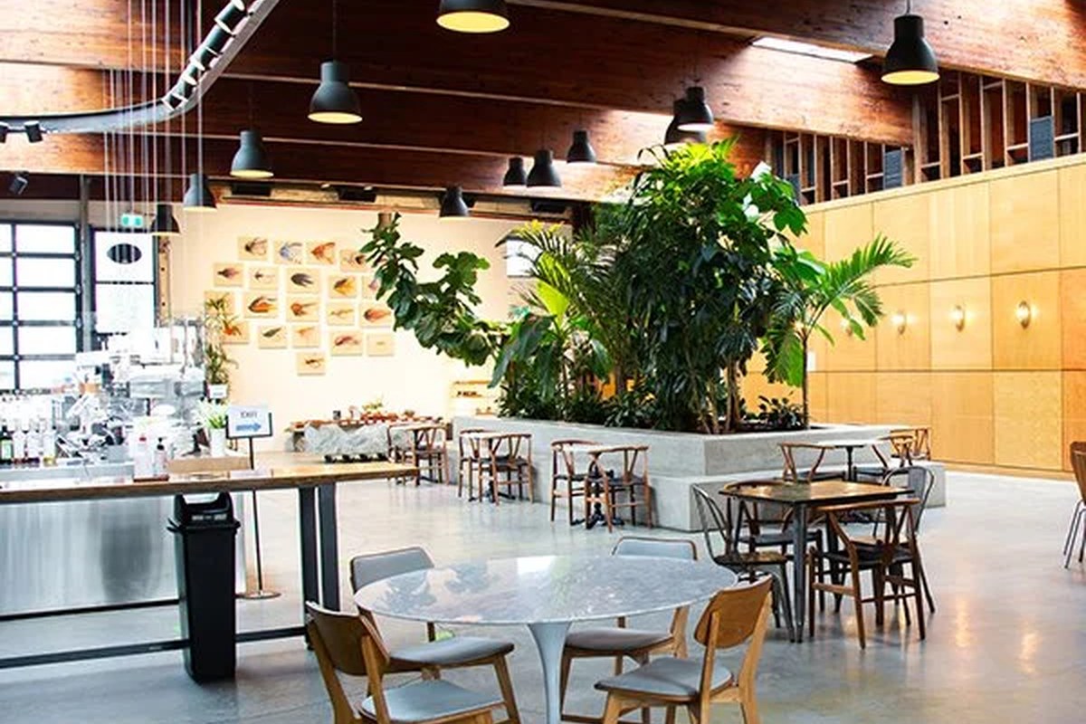
Top Local Gems
La Forêt Bakery & Coffee
A destination café known for dramatic interiors, pastries, and brunch culture.
Bakery / café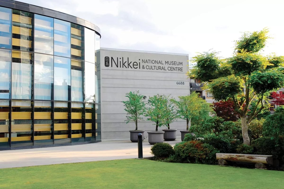
Top Local Gems
Nikkei National Museum & Cultural Centre
A respected cultural centre preserving and sharing Japanese Canadian history.
Museum / cultural centreSources: curated lifestyle research, official venue pages, public business listings, and exact-source image manifests. Verify hours, availability, and business details before visiting.
Elementary Schools.
Marlborough ElementaryBurnaby · localPublic Elementary
Brentwood Park ElementaryBurnaby · localPublic Elementary
Gilmore Community ElementaryBurnaby · localPublic Elementary
Capitol Hill ElementaryBurnaby · localPublic Elementary
Taylor Park ElementaryBurnaby · localPublic Elementary
Edmonds Community SchoolBurnaby · localPublic Elementary
High Schools.
Burnaby North SecondaryBurnaby · localPublic Secondary
Burnaby South SecondaryBurnaby · localPublic Secondary
Alpha SecondaryBurnaby · localPublic Secondary
Moscrop SecondaryBurnaby · localPublic Secondary
Byrne Creek Community SchoolBurnaby · localPublic Secondary
Cariboo Hill SecondaryBurnaby · localPublic Secondary
Source: Burnaby School District 41 public school context — verify catchment by exact address. 12 schools cached. Verify attendance assignment with the district using the exact property address.
Mark Oduro, REALTOR®
Make sense of Burnaby, BC before you make a move.
Use the data as a starting point. Mark can help you narrow it down to the blocks, buildings, school catchments, and recent sales that actually matter for your search or sale.