

Area Guide
Surrey, BC
Metro Vancouver’s fast-growing south-of-Fraser city, spanning Surrey City Centre, Guildford, Fleetwood, Newton, Cloverdale, and South Surrey with rapid transit, parks, schools, and major employment nodes.
Surrey neighbourhood guides
Explore Surrey by pocket.
Surrey is too varied to read as one market. Start with the citywide guide, then narrow into the neighbourhoods buyers actually compare block by block.
Shopping · Parks · RecreationGuildfordGuildford Town Centre, Green Timbers trails, recreation access, and North Surrey market context.Open Guide
City Centre · SkyTrain · GrowthWhalleySurrey City Centre living with SkyTrain, civic anchors, Holland Park, and urban redevelopment energy.Open Guide
Family · Parks · SchoolsFleetwoodEstablished residential streets, Fleetwood Park, community amenities, and Surrey-Central market benchmarks.Open Guide
Quiet · Schools · TyneheadFraser HeightsA quieter northeast Surrey pocket with school anchors, Fraser Heights recreation, and Tynehead access.Open Guide
Coastal · Village · LifestyleSouth SurreyGrandview, Morgan Creek, Crescent Beach, Ocean Park, Semiahmoo, and White Rock/South Surrey market context.Open Guide
Growing · Family · PanoramaSullivan StationA growing family area near Panorama amenities, schools, parks, and central Surrey access.Open Guide
Town Centre · Culture · RecreationNewtonTown-centre convenience, recreation, cultural anchors, schools, and central Surrey market data.Open Guide
Around Surrey
See what's nearby.
Explore restaurants, everyday essentials, schools, parks, hospitals, shopping, wellness, places of worship, major transit stations, and family-friendly places around Surrey, BC.
161 mapped pointsCurated public listings + official school/city sources
Listings feed
Surrey, BC homes worth watching.
A mock preview of how active opportunities can sit inside each area guide — clean scan value first, then Mark can replace this with live feed logic when the real listing source is ready.
Active · Detached$1,638,000Renovated character residence minutes from Queen Elizabeth Park.Featured · Townhome$1,088,000Polished townhome with flexible work-from-home space.Preview · Condo$789,000Elevated condo living close to Seawall access and daily essentials.Active · Detached$2,248,000Quiet west-side family home with refined indoor-outdoor flow.New · Duplex$1,398,000Architectural half-duplex close to Fraser Street dining and parks.Coming Soon · Condo$928,000Bright concrete residence with city outlook and strong transit access.
Source: Fraser Valley Real Estate Board MLS® Summary Package, Surrey HPI, May 2026. Verify against the latest board package before making a pricing decision.
- 185,671Occupied private dwellings
9.7%
Population change from 2016 to 2021
Total private dwellings counted in the 2021 Census
People per square kilometre
Top local picks
Discover local gems.
Lifestyle-first local gems: restaurants, cafes, bars, breweries, gyms, wellness studios, shopping, and recreation spots researched from official venue pages and public sources.
Top Local Gems
Crescent Beach
A cherished seaside village and beach walk that shows Surrey’s quieter coastal side.
Beach / village
Top Local Gems
Surrey Art Gallery
A major civic arts destination with exhibitions, programming, and cultural weight.
Art gallery
Top Local Gems
Bear Creek Park
A large family-friendly park with gardens, trails, arts facilities, and seasonal attractions.
Urban park
Top Local Gems
Central City Brewers + Distillers
A prominent Surrey-born craft brewery and distillery with regional recognition.
Brewery / distillery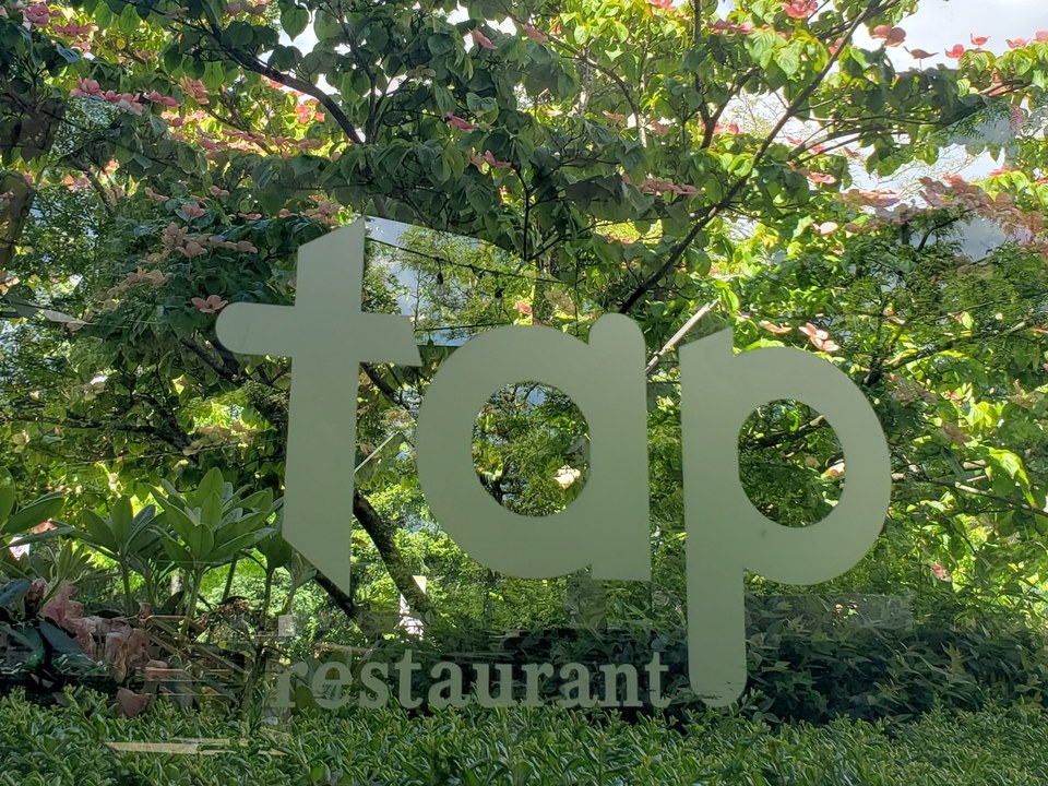
Top Local Gems
TAP Restaurant
A well-regarded South Surrey dining room known for polished neighbourhood hospitality.
Restaurant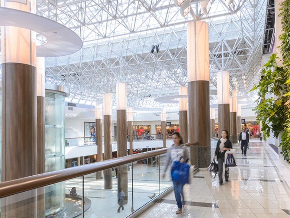
Top Local Gems
Guildford Town Centre
One of Surrey’s major retail anchors with broad everyday and lifestyle draw.
Shopping centreSources: curated lifestyle research, official venue pages, public business listings, and exact-source image manifests. Verify hours, availability, and business details before visiting.
Elementary Schools.
Forsyth Road ElementaryNorth Surrey · city-widePublic Elementary
Martha Currie ElementaryCloverdale · city-widePublic Elementary
Walnut Road ElementaryFleetwood · city-widePublic Elementary
Cambridge ElementaryNewton / Sullivan · city-widePublic Elementary
Pacific Heights ElementarySouth Surrey · city-widePublic Elementary
High Schools.
Queen Elizabeth SecondaryCity Centre / Whalley · city-widePublic Secondary
Guildford Park SecondaryGuildford · city-widePublic Secondary
Fleetwood Park SecondaryFleetwood · city-widePublic Secondary
Princess Margaret SecondaryNewton · city-widePublic Secondary
Lord Tweedsmuir SecondaryCloverdale · city-widePublic Secondary
Semiahmoo SecondarySouth Surrey · city-widePublic Secondary
Source: School District 36 Surrey representative city-wide context — verify catchment by exact address. 11 schools cached. Verify attendance assignment with the district using the exact property address.
Mark Oduro, REALTOR®
Make sense of Surrey, BC before you make a move.
Use the data as a starting point. Mark can help you narrow it down to the blocks, buildings, school catchments, and recent sales that actually matter for your search or sale.